A visitor's gazette · Venice
Six sestieri in a lagoon
Venice is a city of islands. Visitors walk and take boats. Cars stop at the edge.
The city
Six sestieri, then water
Venice is six sestieri on lagoon islands. The historic centre has no roads for private cars. You walk the calli and take boats on the canals. That is the whole transport story, once you have reached the edge.
The six districts are San Marco, Castello, Cannaregio, Dorsoduro, San Polo and Santa Croce. They are older than the tourist map. Parish churches, campi and boat stops still organise daily life. This gazette starts there, then steps out to the islands and the public gardens, then explains how you actually arrive.
Italia Park Inform is independent. We do not sell tickets, rooms or garage spaces. Where times change, we send you to the operator rather than invent a number that will be wrong by Easter.
Districts
The sestieri
Each district has a different grain. San Marco is a stage. Castello still feels like a neighbourhood. Dorsoduro looks south to the Giudecca Canal.
-
San Marco
The civic square
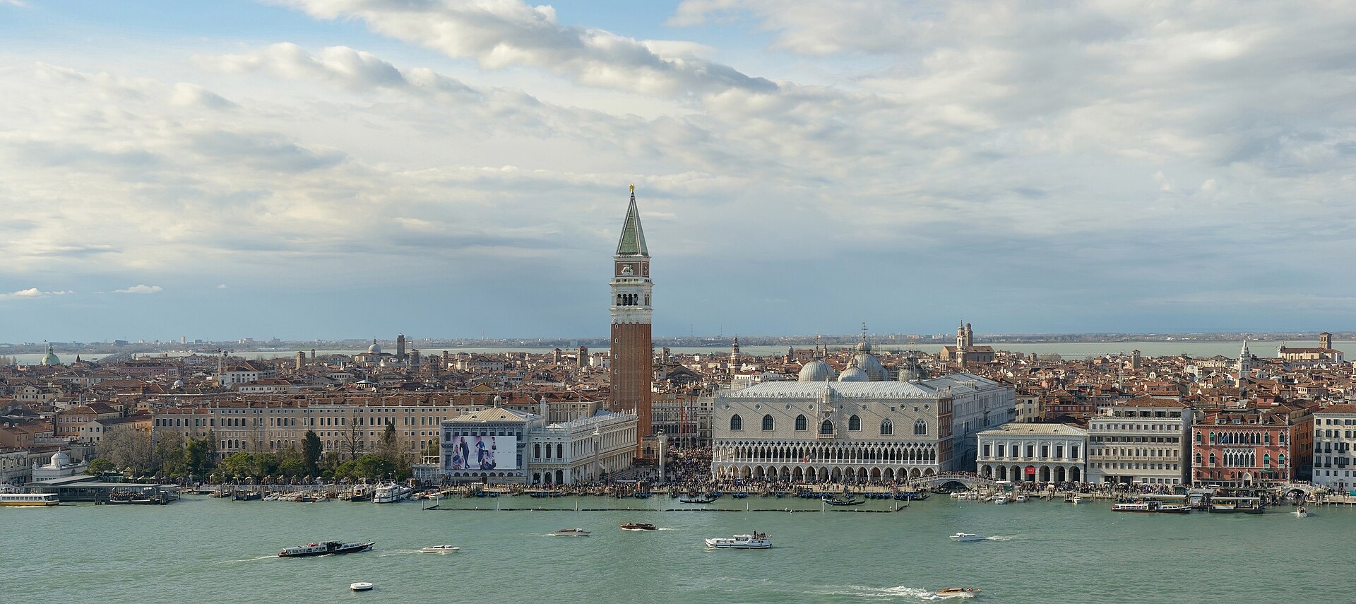
The basilica, the campanile and the Doge's Palace sit on one paved campo. It floods first when the tide is high.
-
Castello
Arsenale and gardens
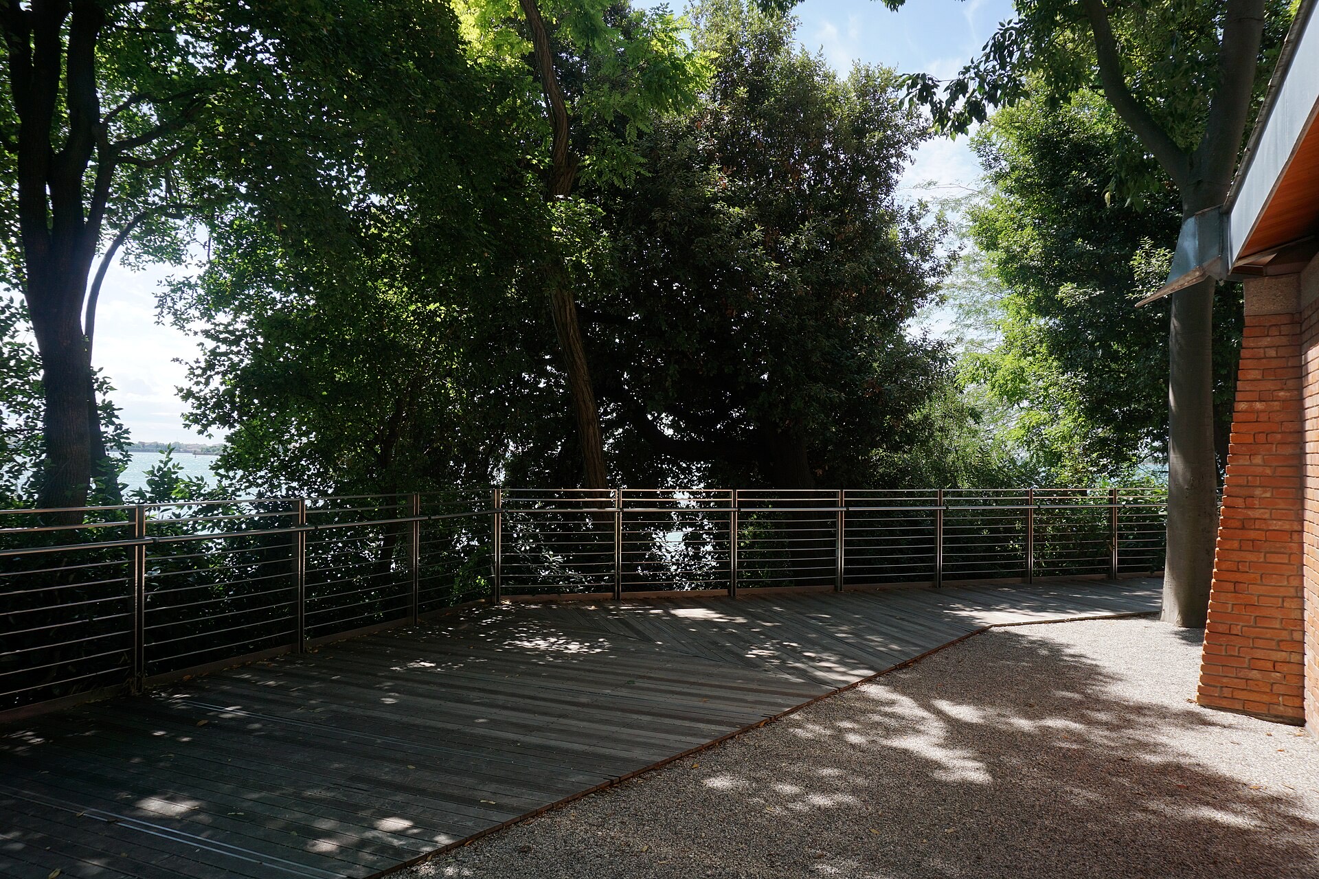
The eastern district holds the old shipyards, the Biennale gardens and quieter streets around San Pietro.
-
Cannaregio
Canal and Ghetto
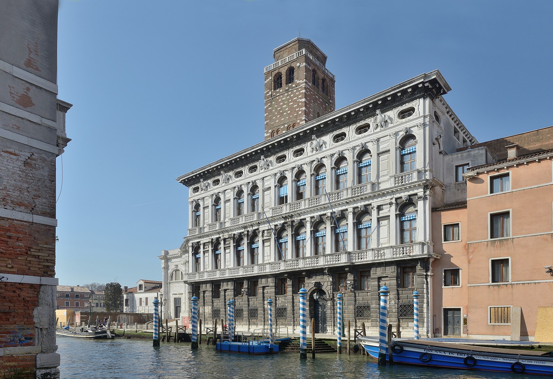
A long northern district. Palazzo Labia faces the Cannaregio canal. Fondamente Nove looks at the Alps on a clear day.
-
Dorsoduro
Zattere and the campo
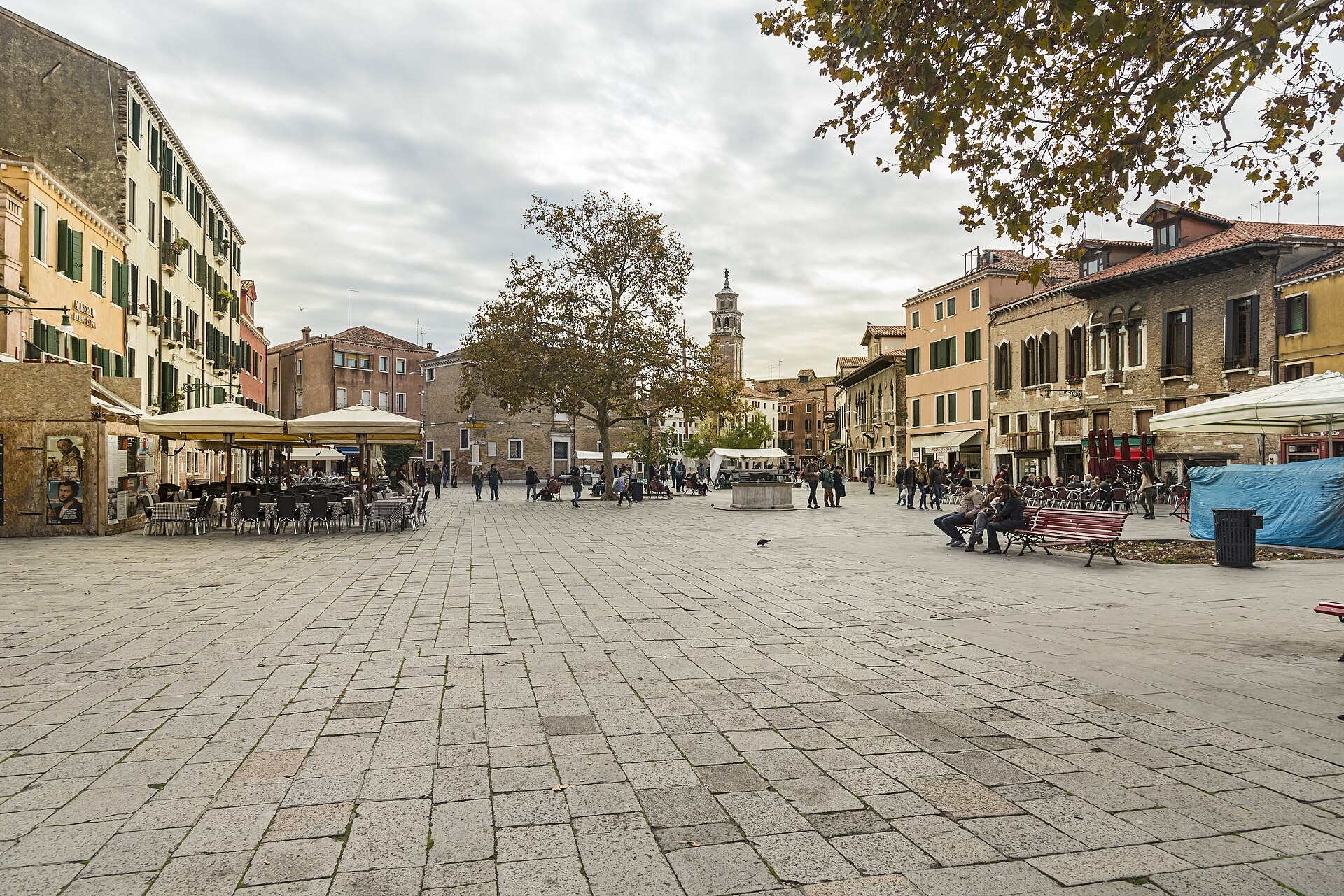
Campo Santa Margherita is the living room. The Zattere is the long walk along the Giudecca Canal.
-
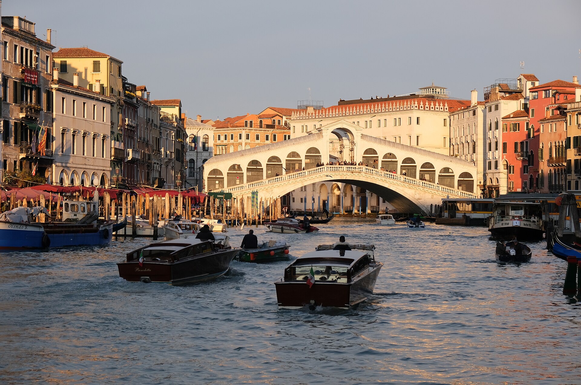
San Polo
Rialto and the market
The densest sestiere. The stone bridge and the fish hall still mark the old commercial heart.
-
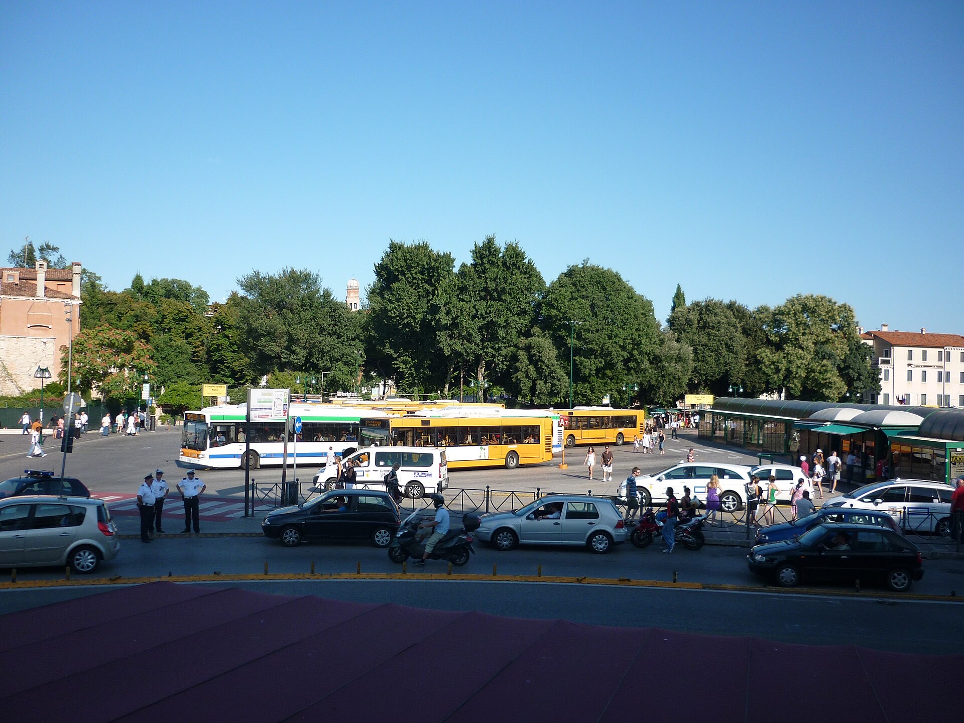
Santa Croce
Where the road ends
Piazzale Roma and the station sit on this western edge. After that, the city is stone and water.
Arrival by car
Cars stop at the edge of the island city
The historic centre has no roads for private vehicles.
- Piazzale Roma. The Ponte della Libertà ends here. Walking and vaporetti start from this square.
- Tronchetto. An artificial island just west of the station, with a large covered car park.
- People Mover. A short elevated rail between Tronchetto and Piazzale Roma.
Garages at the terminus stay open around the clock. Height limits apply. From either point you continue on foot or by vaporetto. Leaving the car in Mestre and crossing by bus, tram or train is the other usual pattern.
Beyond the six
Islands and gardens
Murano, Burano and Torcello are a day on the lagoon. The Giardini and Sant'Elena are the city's public green, which is how this gazette earns the word park.
-
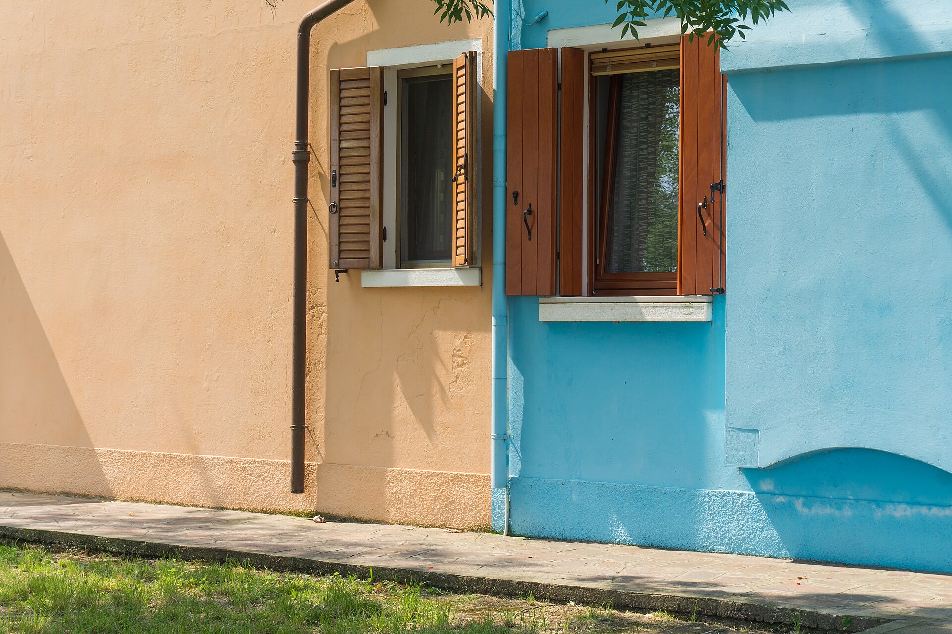
Lagoon islands
Murano, Burano, Torcello, Lido
Glass, painted houses, a seventh-century basilica, and a sandbar that faces the Adriatic.
-
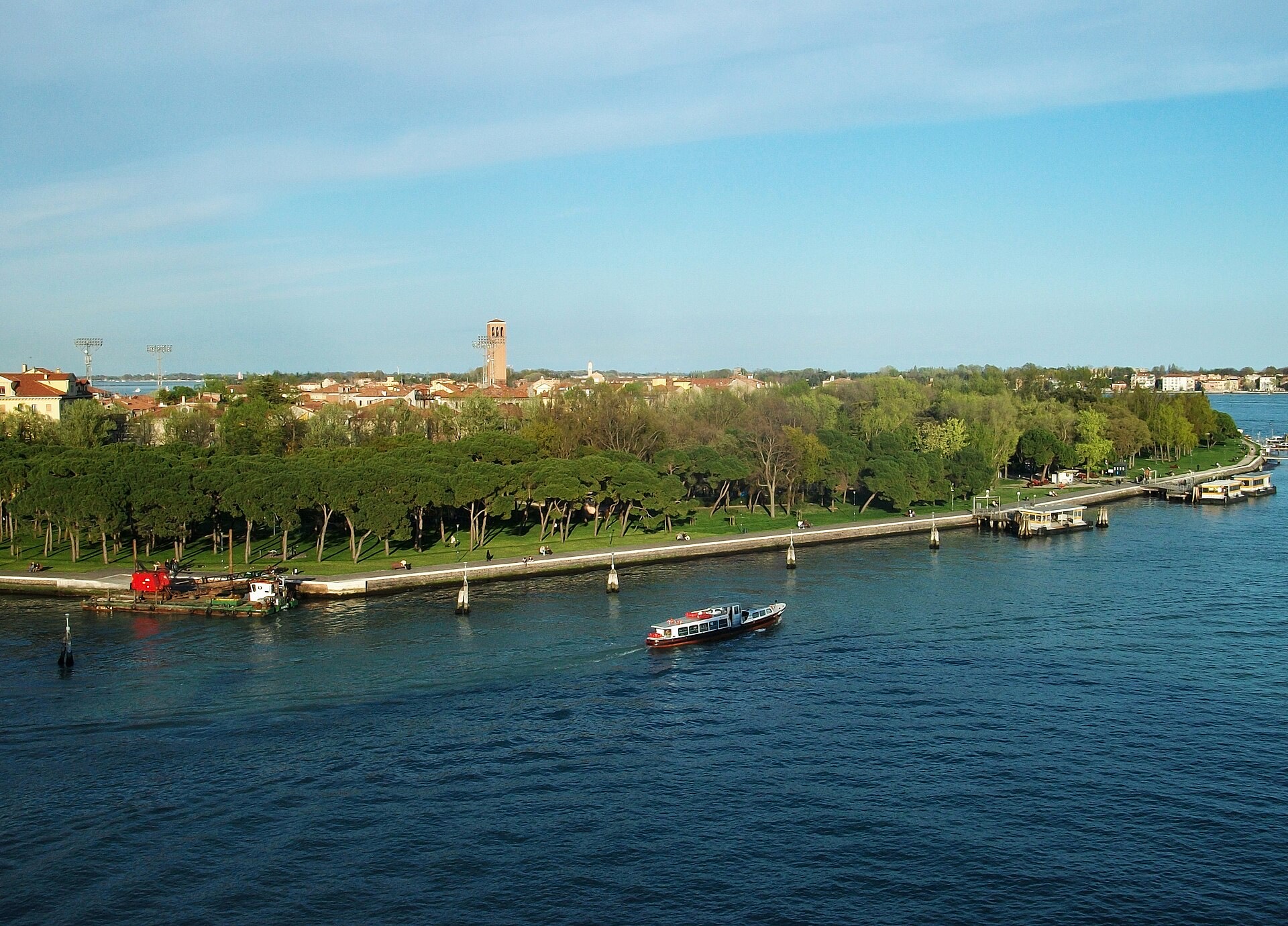
Public green
Giardini and Sant'Elena
Napoleonic gardens, Biennale pavilions, and a pine park at the eastern tip.
On foot
Walking is the default
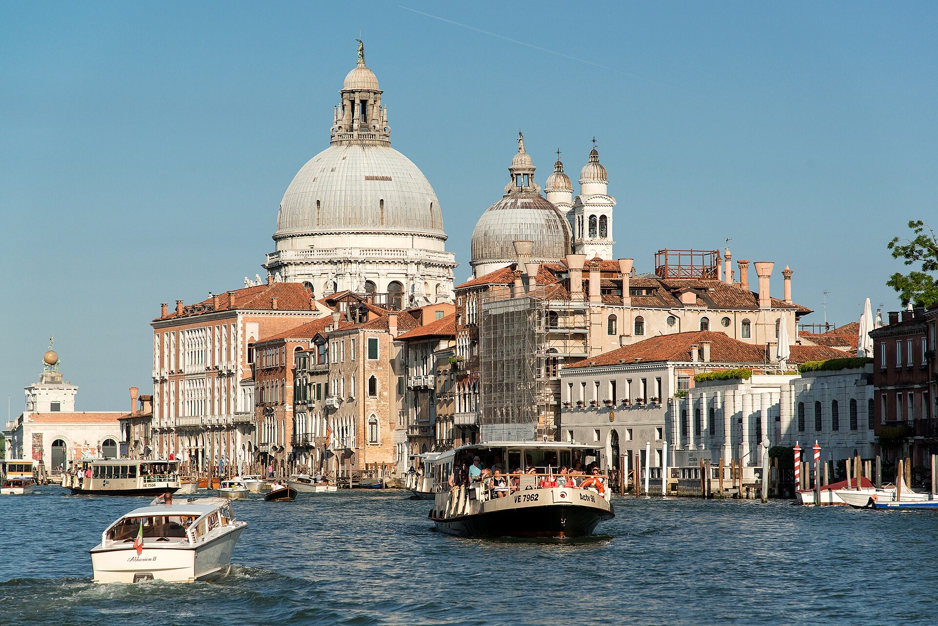
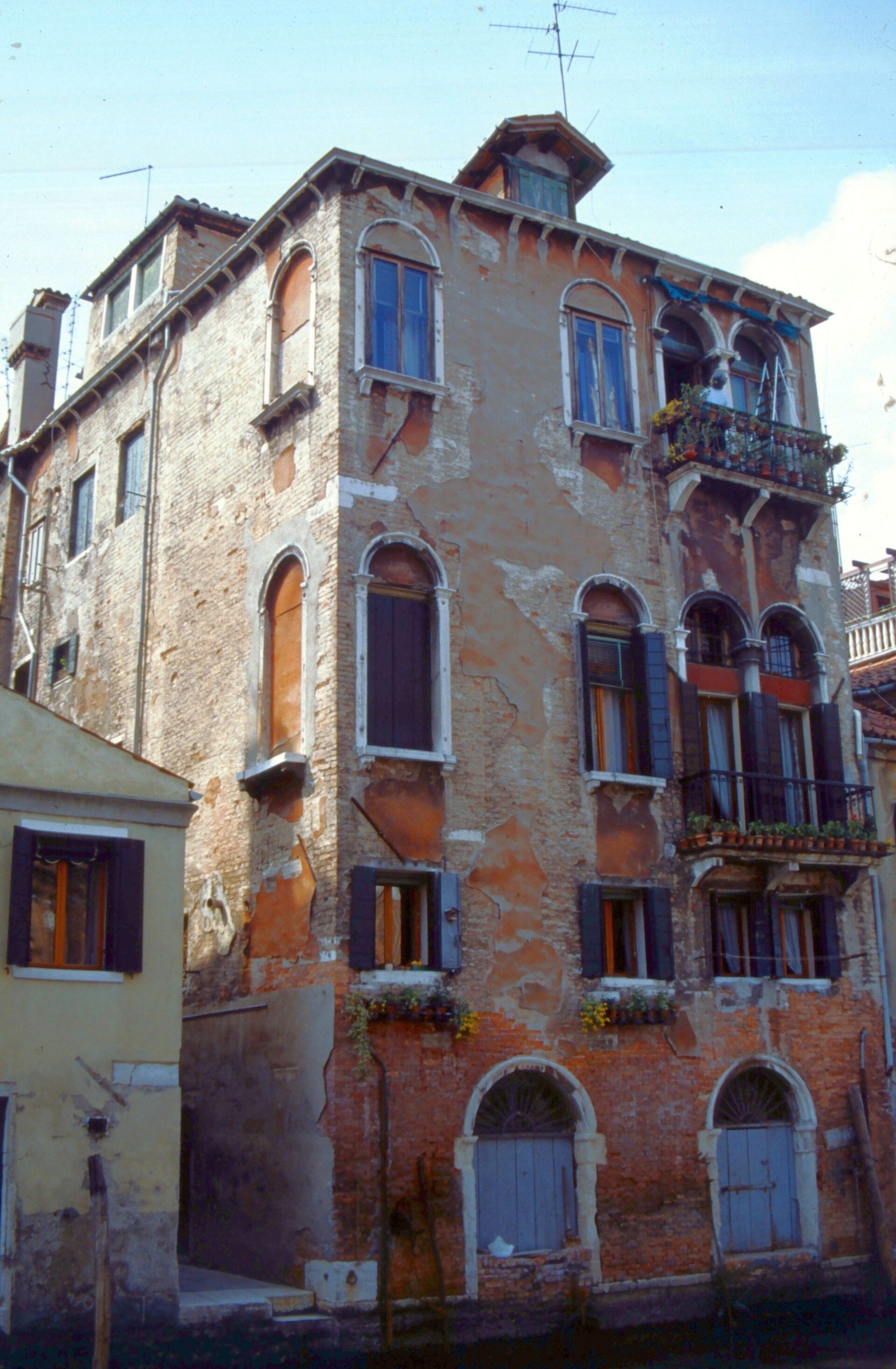
Yellow nizioleti name the streets. Bridges have steps. The vaporetto is the bus. A traghetto is a public gondola crossing of the Grand Canal if you know where to stand. When the tide is high, wooden walkways go up in San Marco. The walking notes cover that, without pretending the city is flat.
If you are still on the mainland, start with arriving. The useful fact is simple. The road ends. The city begins.